Learn the Common Terms with Construction Stakeout
July 01, 2026
Understanding the Basics of a Construction Stakeout
Before a single piece of heavy equipment moves any dirt, a critical translation must happen. The complex designs and blueprints drawn up by engineers need to be physically mapped onto the actual job site. This process is known as a construction survey stakeout or site layout. By establishing control points and setting stakes throughout the project site, surveyors create a real-world guide that directs every phase of site development.
A proper stakeout acts as the physical blueprint for the site development and construction crews. It tells operators and crews exactly where to perform excavation, establish grades, install utilities, construct roadways, and place critical infrastructure components. Without these markers, even the most detailed civil engineered paper plans are practically useless in the field. The stakes provide the necessary reference points to keep everything aligned, safe, and on schedule.
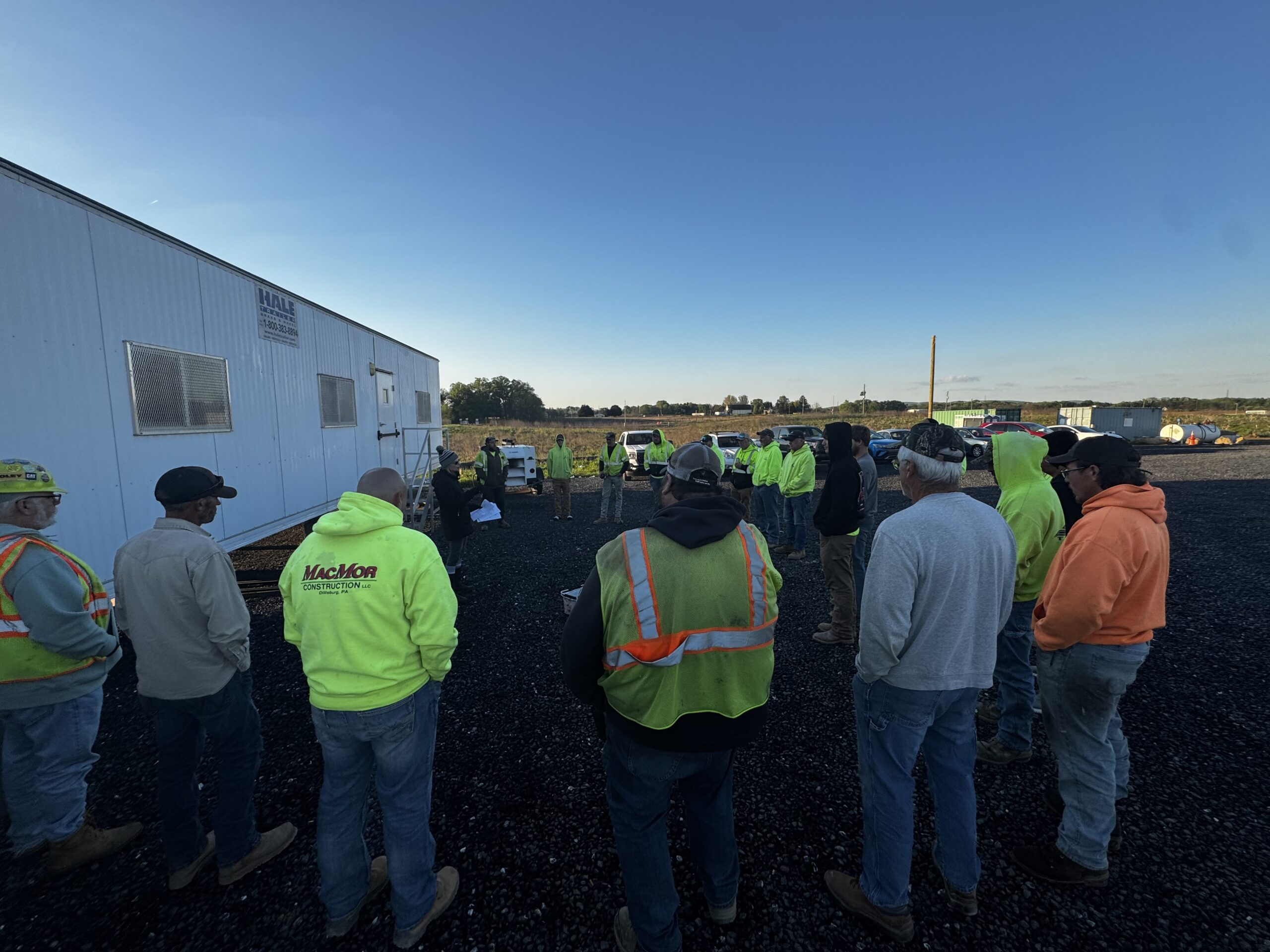
At Schlouch Incorporated, we know that precision at the very beginning dictates the success of the entire job. Our civil construction and sitework professionals rely on accurate surveying and staking to deliver high-quality results. If you want to understand how a job site goes from a patch of dirt to a finished project, you need to learn the language of the construction layout.
Decoding Construction Stakeout Terminology
To the untrained eye, a job site covered in wooden stakes and neon flagging might look like a chaotic mess. However, each marker carries specific, vital information. Knowing how to read them is essential for anyone working in site preparation.
1. Cut (C) and Fill (F)
These letters indicate the vertical distance needed to adjust the ground level. If a stake reads “C 2.5”, the crew needs to cut (or remove) 2.5 feet of dirt. Conversely, “F 1.8” means they must fill (or add) 1.8 feet of material to reach the required design grade.
2. Offset
An offset is a distance measured away from a specific working point. It is usually written as something like “10 ft OS”. Surveyors place these stakes far enough away so that the excavation equipment does not destroy the marker while digging the actual spot.
3. Hub and Hub Elevation
A hub is a wooden stake driven completely flush with the ground. Surveyors often tap a nail into the top of it to serve as a highly precise reference point for elevation measurements. Surveyors also may choose to use a nail only as this reference point by the wooden stake.
4. Station and Stationing
Stations are numbers that identify specific locations along a roadway, utility alignment or baseline. You will typically see them written in 100-foot increments, such as 1+00 or 2+00. This system helps crews track their exact position along a long project, like a roadway.
5. Centerline (CL/L)
The centerline marks the horizontal alignment of a roadway, utility line, or structure. Surveyors use centerline staking to establish the location of roadways, storm sewer systems, sanitary sewer lines, water mains, and other infrastructure components.
6. Grade Stake or Working Point
A grade stake provides elevation information necessary for excavation, embankment construction, utility installation, and final grading operations. These stakes are critical for achieving design elevations and maintaining proper drainage patterns.
7. Finished Floor (FF)
The FF indicates the final elevation of the top of a concrete slab. This benchmark helps ensure proper site drainage and coordination between building construction and surrounding site improvements..
8. Invert (INV)
When pipe installation is in progress, the invert represents the absolute lowest internal point of that pipe. Water flows along the invert, making this measurement crucial for proper drainage.
9. Slope Stake
Slope stakes define the point where a proposed cut or fill slope intersects existing ground. They help earthwork crews establish excavation limits, embankment extents, and grading boundaries.
10. Guard Stake
Guard stakes are placed adjacent to survey hubs to protect critical control points from construction activities. These stakes often contain the layout information crews need while preserving the primary survey reference.
Key Concepts in the Field
Beyond the abbreviations scrawled on the wood, several broader concepts dictate how a construction stakeout functions on the site.
The Role of the Offset Stake
Heavy equipment needs room to operate. If surveyors placed a marker exactly where a trench needed to go, the excavator would destroy the marker on the very first scoop. Offset stakes solve this problem by providing a secure reference point a set distance away from the actual work zone.
Reading a Staking Exhibit
A staking exhibit is a field reference drawing that illustrates survey control points, stake locations, offsets, and proposed improvements. Foremen, operators, and project managers use these exhibits to verify layout information and coordinate field operations.
Establishing Control Points
Control points are known, precise survey monuments. Every single measurement on the site originates from these points. If the control points are wrong, the entire project could be built in the wrong location.
The Process of Staking and Curb Layout
The staking process bridges the gap between the digital models and the physical dirt. It requires careful planning and specialized technology.
First, the engineering team hands over the digital design files. Surveyors then translate these plans into coordinates that can be located in the real world. Using advanced equipment like GPS rovers and robotic total stations, the survey team walks the site and drives stakes into the ground at the precise coordinates.
A great example of this process in action is a curb layout. When slipform curb occurs in a new parking lot or roadway, the curbs define the edges and direct the flow of stormwater. Surveyors will stake the curb layout using a series of offset stakes. These markers tell the concrete crew exactly where the faceof the curb should sit and what the top elevation needs to be. By following the curb layout stakes, the crew ensures the water drains into the catch basins rather than pooling in other locations..
Why Accurate Stakeouts Matter
The entire construction sequence relies on the initial stakeout. Getting it right is non-negotiable for several reasons.
Ensuring Project Compliance
Every project must adhere to strict local regulations, property lines, and engineering tolerances. An accurate stakeout ensures the building or roadway sits exactly where the municipality approved it to go. Building over a property line or utility easement can lead to unnecessary issues for the project and client.
Preventing Costly Delays
Errors made during grading and excavation can quickly impact every phase of a project. A misread stake or inaccurate layout can result in over-excavation, improper grades, or utility conflicts, requiring additional material, equipment time, and labor to correct. Accurate survey staking helps crews work efficiently the first time, reducing rework, controlling costs, and keeping projects on schedule.
Maintaining Site Safety
Stakes also mark the location of underground utilities. Knowing exactly where high-voltage lines and gas lines sit is critical for keeping the entire site team and other subcontractors safe during excavation.
Build Your Future With Schlouch Incorporated
A construction stakeout is the critical first step that turns an engineering vision into reality. By understanding the terminology, the equipment, and the processes like curb layout, crews can work efficiently and accurately. The stakes guide the machines, ensure proper drainage, maintain regulatory compliance and help deliver a quality project that meets customer expectations.
Are you a skilled equipment operator, pipe layer, or site worker looking to join a team that values precision and hard work? Schlouch Incorporated is actively seeking dedicated construction workers in Pennsylvania. Check out our available positions and take the next step in your career with an industry leader today.