
How Schlouch Uses GPS Technology for Accurate Excavation and Grading
October 19, 2026
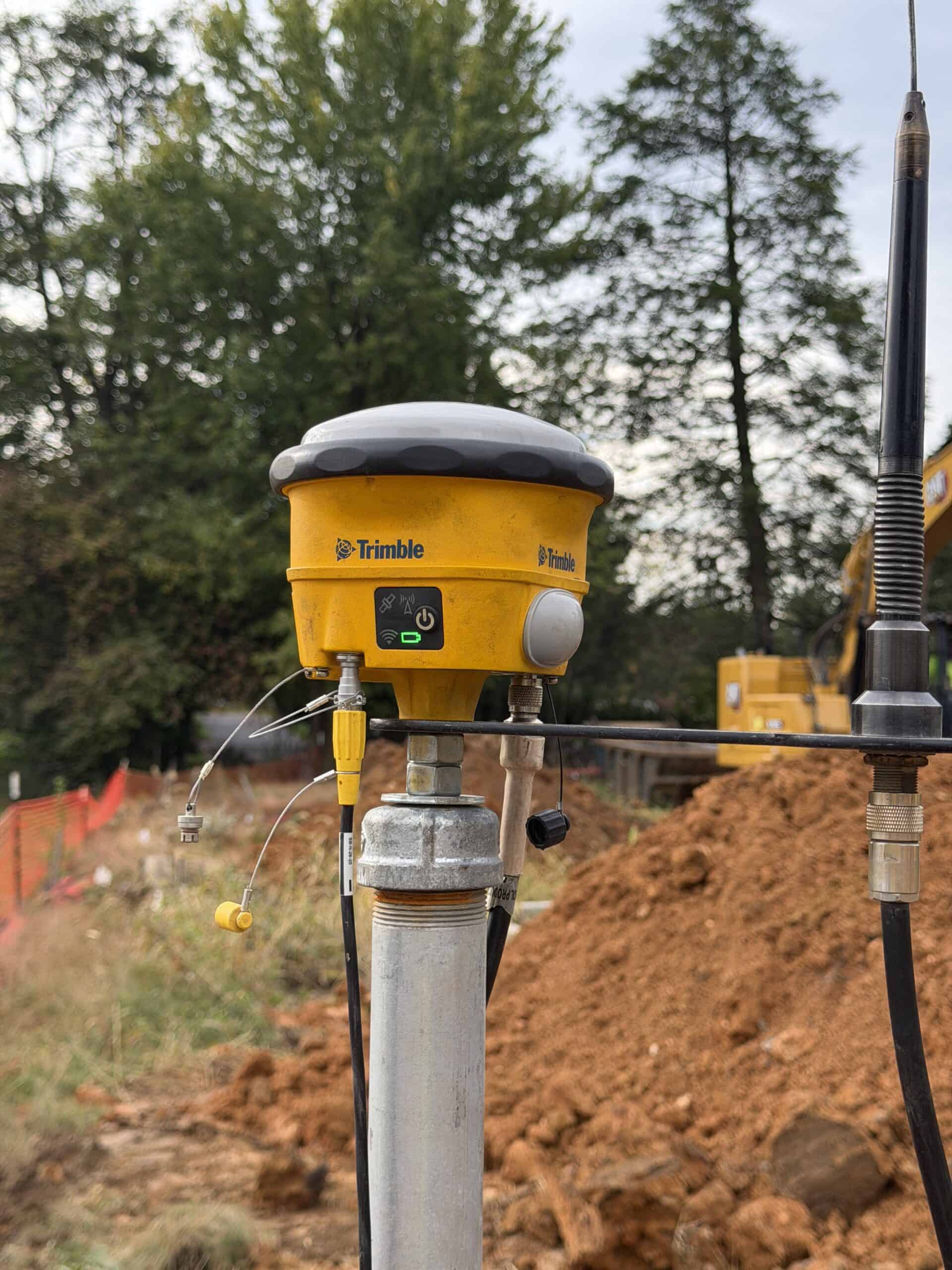
Quick answer: Schlouch Incorporated uses Trimble GPS receivers and robotic total stations to help crews accurately locate, grade, and excavate sites. By combining GPS equipment with experienced survey and field teams, Schlouch helps improve efficiency, quality and keep sitework moving according to plan.
Accurate excavation starts with knowing where to dig, what elevation needs to be reached, and how the work fits with the rest of the site plan. Even a small positioning or elevation error can lead to rework, added material, or schedule impacts.
Schlouch Incorporated uses Trimble GPS technology and robotic total stations across their job sites to provide the field teams with accurate information for each project. . From survey and stakeout to excavation and grading, the technology helps connect the plans to the work happening in the field.
How Does Trimble GPS Support Accurate Excavation and Grading?Support Accurate Excavation and Grading?
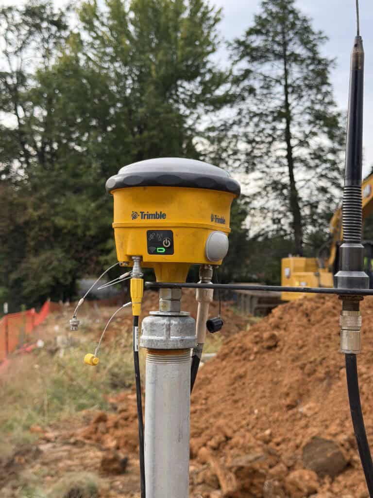
Standard phone GPS is accurate to within a few meters, which is fine for navigation, but far too imprecise for construction and excavation. Trimble GPS receivers use high-precision positioning technology and real-time corrections to provide the level of accuracy needed for construction layout, excavation, and grading.They lock onto multiple satellite networks simultaneously, including GPS, GLONASS, and Galileo, then apply real-time kinematic (RTK) corrections from base stations or internet services to eliminate the tiny signal errors caused by atmospheric interference.
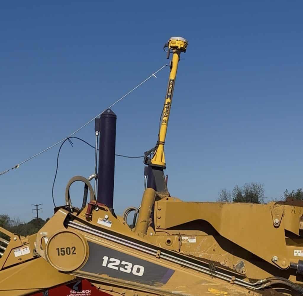
For Schlouch crews, that information can be available directly in the field and, on GPS-equipped machines, in the operator’s cab. Operators can see the planned location and grade as they work, helping them excavate and grade more accurately without relying solely on traditional stakes and repeated manual measurements.
That accuracy can mean fewer grade corrections, increased productivity, better use of material, and a smoother transition to the next phase of construction.
What Makes Trimble Robotic Total Stations So Precise?
For precision staking and layout work, Schlouch relies on Trimble robotic total stations, which combine motorized tracking with advanced correction technology. These systems help Schlouch’s Survey Team quickly establish and verify important locations and elevations throughout a project.
Three key features make these instruments particularly effective on busy construction sites:
- MagDrive servos enable fast, quiet, and smooth movement for precise positioning
- Autolock and Active Tracking keep the instrument locked on its target as the surveyor move across the job site, helping make the field layout more efficient.
- SurePoint technology automatically corrects for instrument pointing errors caused by wind, vibrations, or tripod settling, preserving accuracy even in challenging field conditions.
- Together, these technologies help Schlouch’s Survey Team provide accurate layout information to site superintendents, foremen, and equipment operators. That coordination gives field crews reliable information to build from and helps keep excavation and grading aligned with the project plans.
Together, these technologies allow Schlouch’s team to complete stakeout and layout tasks quickly and accurately, which helps keep our crews on site productively moving forward.
Frequently Asked Questions
How does GPS technology improve excavation accuracy?
GPS gives equipment operators real-time information about their location and the required elevation. This helps crews excavate and grade according to the project plans, reducing unnecessary grade corrections and helping maintain accuracy throughout site construction.
How does GPS technology make sitework more efficient?
With project information available directly in the field and on GPS-equipped machines, operators can work more efficiently with fewer manual grade checks and traditional stakes. This can increase productivity, reduce rework, and help keep work moving from one phase of construction to the next.
What is the difference between GPS and a robotic total station?
GPS provides real-time positioning and elevation information across the job site, while robotic total stations are used for highly accurate survey, stakeout, and layout work. Schlouch uses both technologies to help connect project plans with the work being performed in the field.
Does GPS replace traditional surveying and stakeout?
No. GPS is another tool used by Schlouch’s experienced Survey and Field Teams. Surveyors establish and verify important project information, while GPS helps make that information readily available to foremen and equipment operators as the site is being built.
How does GPS technology benefit the customer?
Greater accuracy and productivity in the field can help reduce unnecessary material movement or delays caused by conflicts or other challenges. It also helps keep excavation and grading aligned with the project plans, supporting a more efficient site construction process. These efforts help Schlouch meet critical schedule milestones creating success for the customer.